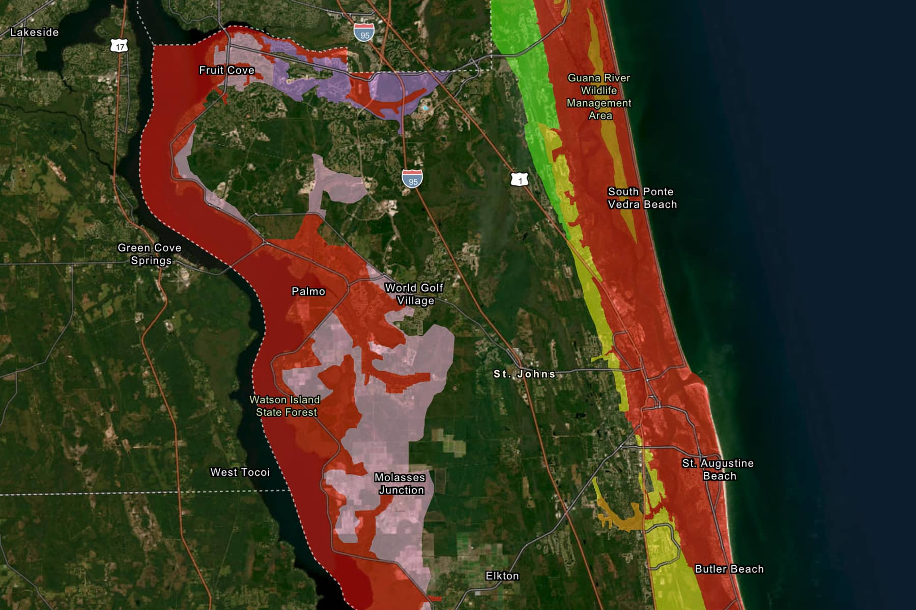
Here are the latest bullet points on Hurricane Milton as the storm churns towards Florida and St. Johns residents finalize their preparations.
— The forecast for our area has remained largely consistent from Monday night.
— Peak winds up to 50 miles per hour with 70 mile gusts are expected beginning Wednesday evening and persisting through the following morning.
— Storm surge of up to 5 feet could hit coastal areas, with that threat lessening further inland.
— St. Johns County is under an official Hurricane Warning.
— Officials expect downed power lines and trees, along with power outages that could last hours to several days or more.
— Residents should secure items in their yards, including furniture, plants and other items that could pose a risk if swept up in a gust.
— County officials said Tuesday morning that they will be issuing evacuation and shelter guidance later in the day. A press conference is slated for noon and we’ll have a write up immediately after.
— The St. Johns County Sheriffs Office said certain shoulder lanes will be made available for outgoing traffic.
— Local gas stations are running out of fuel after a late Monday and Tuesday morning rush.
— Traffic is beginning to build on local highways with a moderate but increasing number of residents leaving the area.
— County officials are urging residents to sign up for text alerts here.
— Residents should know there evacuation zone in case orders are given. You can do so by typing in your address here. Evacuation orders will be announced on county Facebook pages and through other means.
— Here are the basics you should assemble before the storm, ideally by this evening.
- Food and water for your family and pets
- First Aid supplies: medicine and prescriptions
- Emergency equipment: radio, batteries, phone chargers, and flashlights
- Cash and important documents
— Here is a more thorough list of items.
Please stay tuned for updates throughout the day.
