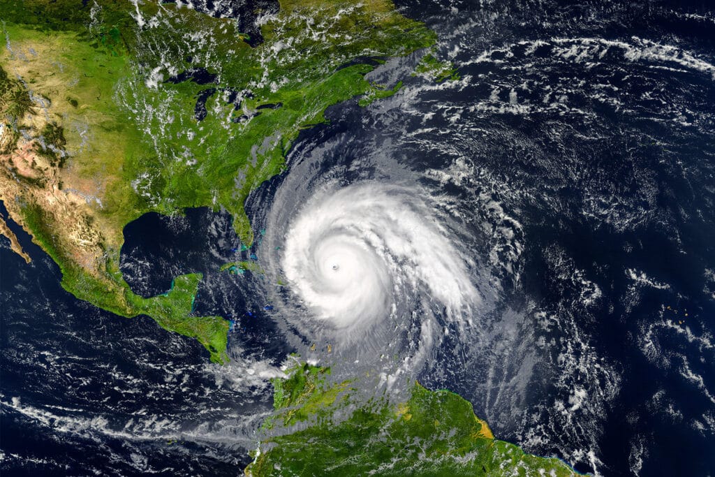
Hurricane Milton strengthened to a fearsome Category 5 storm early Monday as it churned across the Gulf of Mexico with peak winds of more than 150 miles per hour.
The US Weather Service urged residents to finalize their preparations Monday and Tuesday, with state officials girding for their largest evacuation operation since 2017’s Hurricane Irma.
“The most vulnerable locations are along coastal SE Georgia counties and across all of NE Florida,” the National Weather Service said Monday.
The National Hurricane Center forecasted Milton to make landfall south of the heavily populated Tampa metro area and to lash the Interstate 4 corridor, which includes Orlando, Tampa, Fort Myers and Sarasota.
Tampa International Airport announced the suspension of operations beginning at 9 am Tuesday morning ahead of the storm.
Winds from Category 5 hurricanes, officials warn, can damage frame homes, uproot trees and cause power outages that can last for weeks.
The storm’s peak impacts on the First Coast are expected to begin at 7 pm Wednesday and persist through 7 am Thursday.
Gov. Ron DeSantis said Sunday that he expects mass power outages surpassing those inflicted by Hurricane Helene, which crashed into Florida’s Gulf coast before ravaging portions of Georgia, the Carolinas, Tennessee, Virginia and Kentucky.
Helene triggered deadly storm surges and catastrophic winds that claimed the lives of more than 220 victims.
Speaking Monday, DeSantis urged residents in flood-prone barrier islands to begin evacuating.
“All these barrier islands, all these areas that would be susceptible to this storm surge that’s up and down the west coast of Florida, you should assume that there’s going to be some form of evacuation that’s going to be issued by your county officials,” DeSantis said at a press conference. “That is going to happen when you have the potential for a storm surge of this magnitude.”
St. Johns County is under a coastal flood advisory and a storm surge watch. Residents are being urged to prepare for possible power outages and flash floods.
